In the 19th century, the O’Mullan family leased a fair bit of farmland in Mount Hamilton – but it looks like they had to drain a lake to get it.
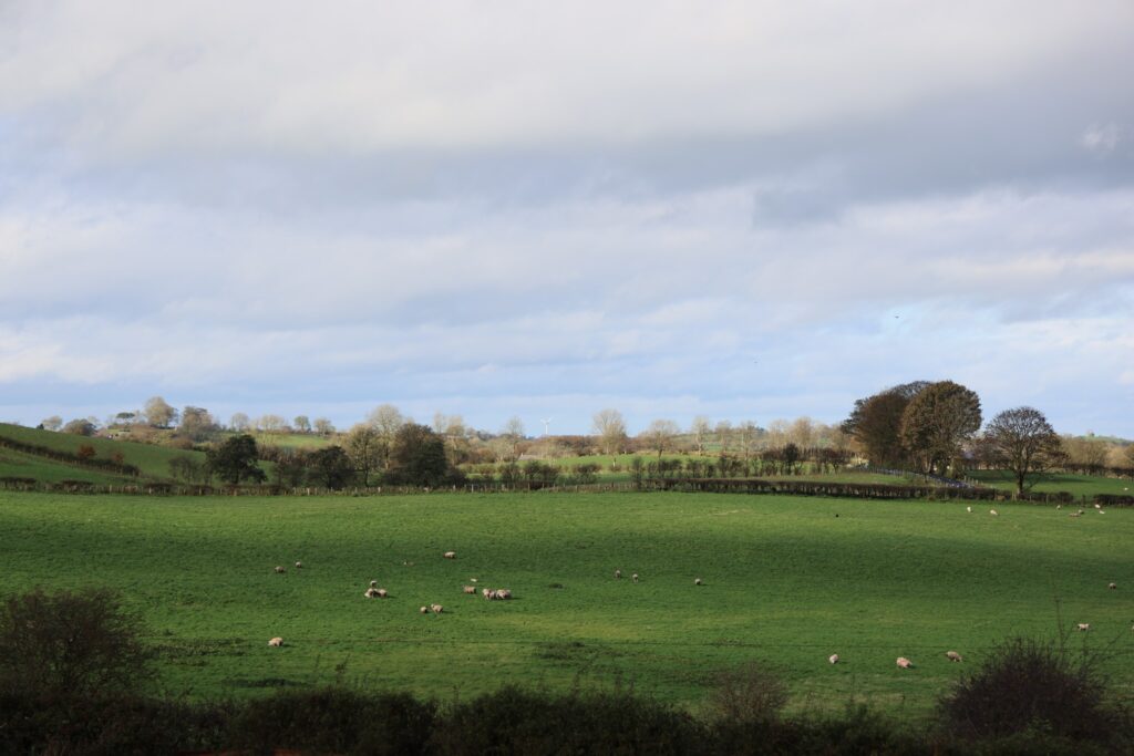
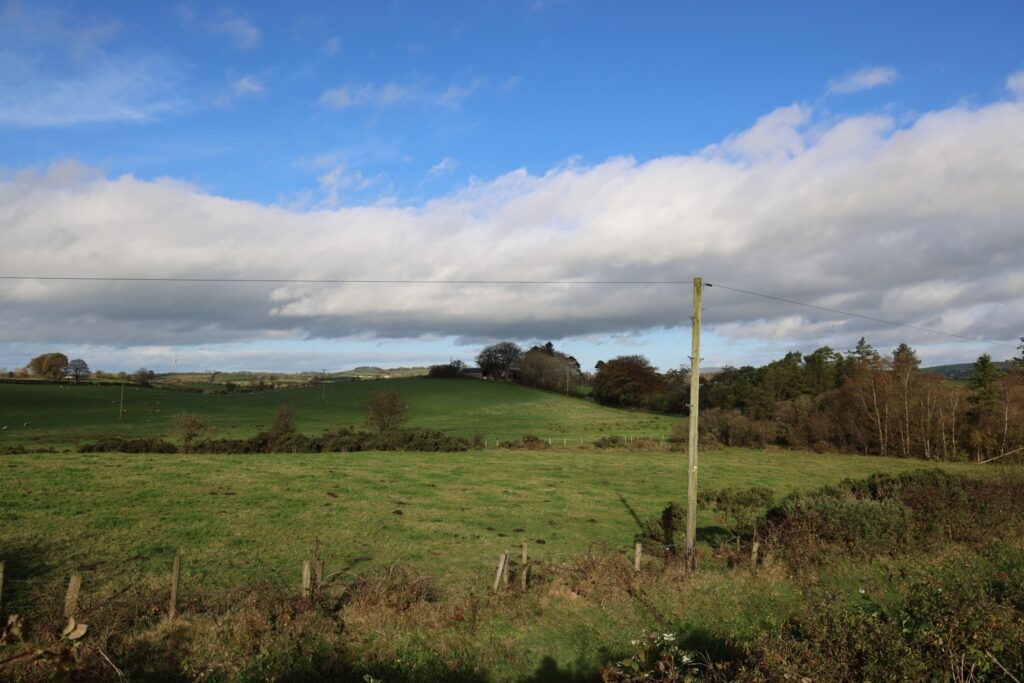
In the early 1600s, Mount Hamilton was called ‘Loch Ard Bhearnais’ – which roughly translates as ‘High Gap Lake’. The name was anglicized to ‘Lough Hardwarnes’ and later changed to Mount Hamilton Lough, for a new owner. As all those names imply, this place used to be under water.
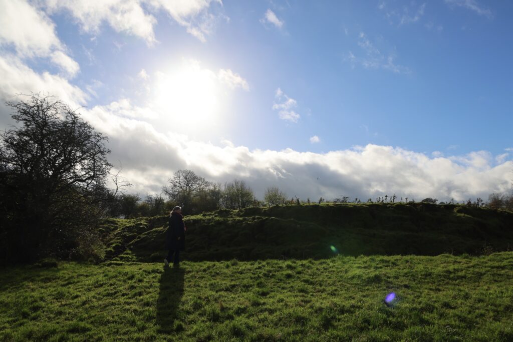
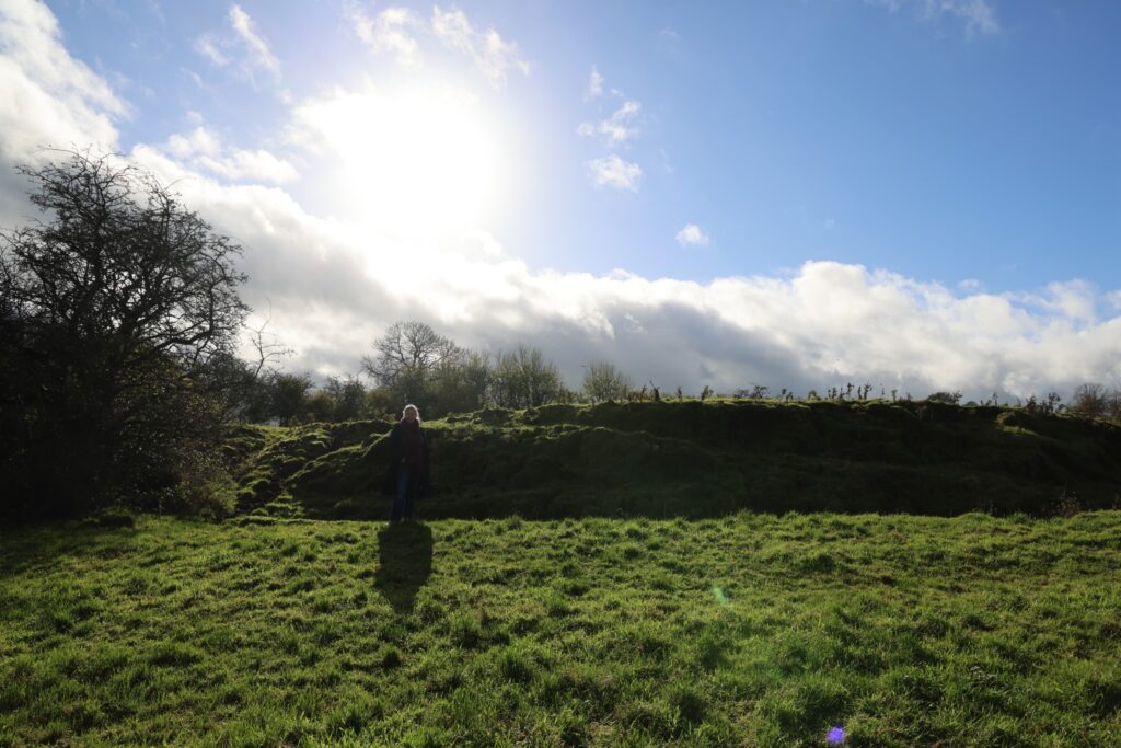
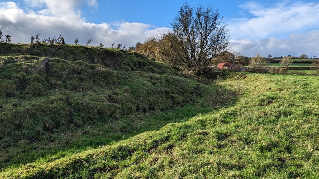
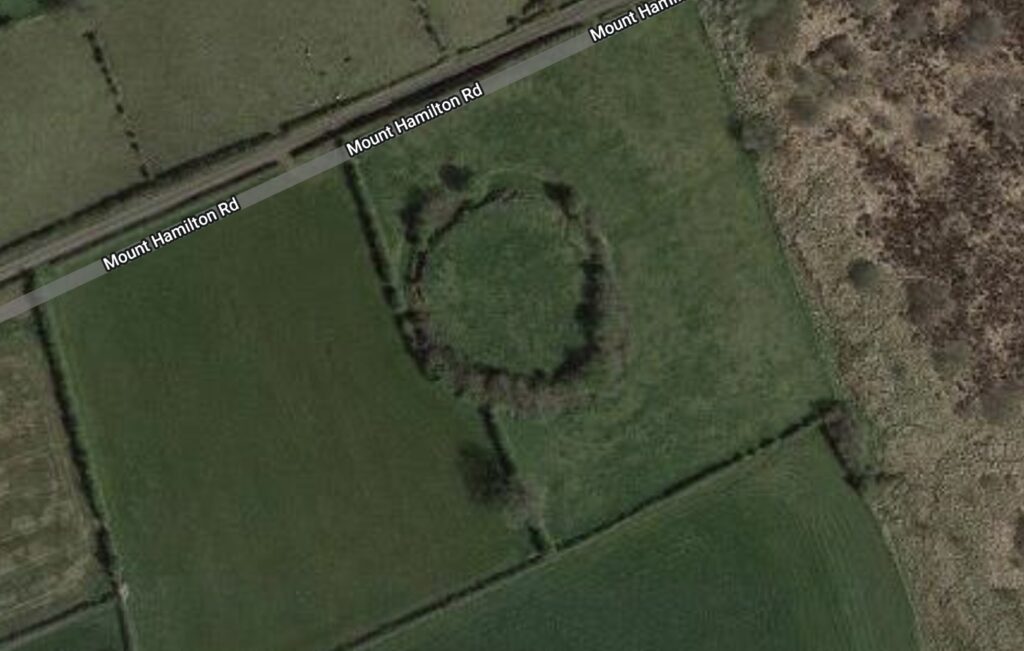
The only remaining evidence of that now is a crannog – a man-made island built up by hand 3000 years ago. According to the landmark registry, that crannog used to sit in the middle of the lake. John Speed mapped it there in 1610/11.
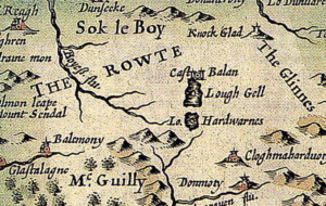
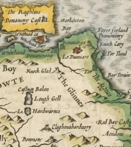
When was it drained? 1832-1837
The lake was still there on 31 JUL 1832 because it appears in Tithe Applotment books for Mount Hamilton. Anyone owning or renting more than 1 acre of land had to a pay tax to the Church of Ireland for the provision of social services – so land was carefully recorded. In the summer of 1832, Mount Hamilton had a total of 483 plantation acres (782.5 modern acres) – including 40 planation acres of lake (64.8 modern acres).
In 1833, an Ordnance Survey mapped the area and included the crannog, but no lake. Textured markings on the map show uncultivated bog land, but that would be gone soon as well.

In 1837, a man named Samuel Lewis described the lake as “recently drained”. He called the crannog Mount Hamilton Fort and spoke of ‘relics of antiquity’ being found ‘in the bog’ in 1831, including a cask of fossilized butter. So by 1837, it was gone.
A large expanse of water, called Mount-Hamilton Lough, has lately been drained, and the land brought into profitable cultivation.
A Topographical Dictionary of Ireland, Samuel Lewis 1837
How do I know our family drained it?
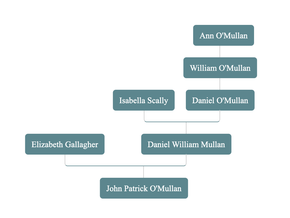
My 3rd great-grandfather, William O’Mullan, was a farmer in Mount Hamilton. He and his extended family leased Lough Hardwarnes in 1832, when it was still a lake, and they continued to lease that acreage long after it was recorded as arable land.
The 1832 Tithe Applotment book records Charles, Daniel, John & William O’Mullan leasing 24 lots between them – 3 of those lots were described as “lake” – 37 modern acres of lake.
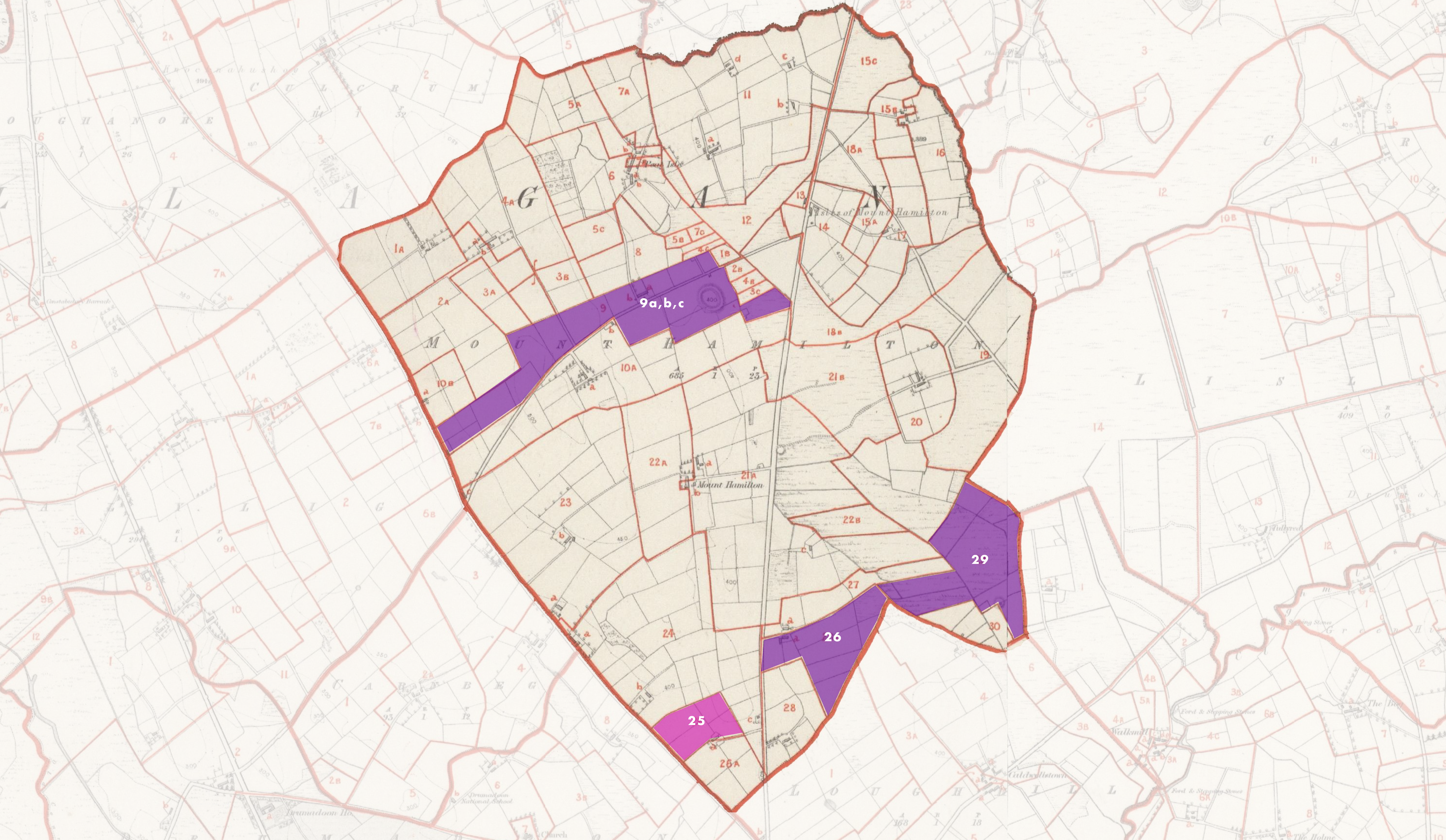
The O’Mullans – William included – were still there in 1862 when the Griffith’s Valuation mapped properties by lot. William, Daniel and Charles’ widow, Anne, were all still living on Lot 9. The crannog falls squarely inside of Lot 9. Mount Hamilton Lough was drained from the surrounding land.
All the colored lots below were held by O’Mullans in 1862. William O’Mullan, my 3rd great-grandfather, farmed part of Lot 9 and all of Lot 26 – just over 50 acres.
